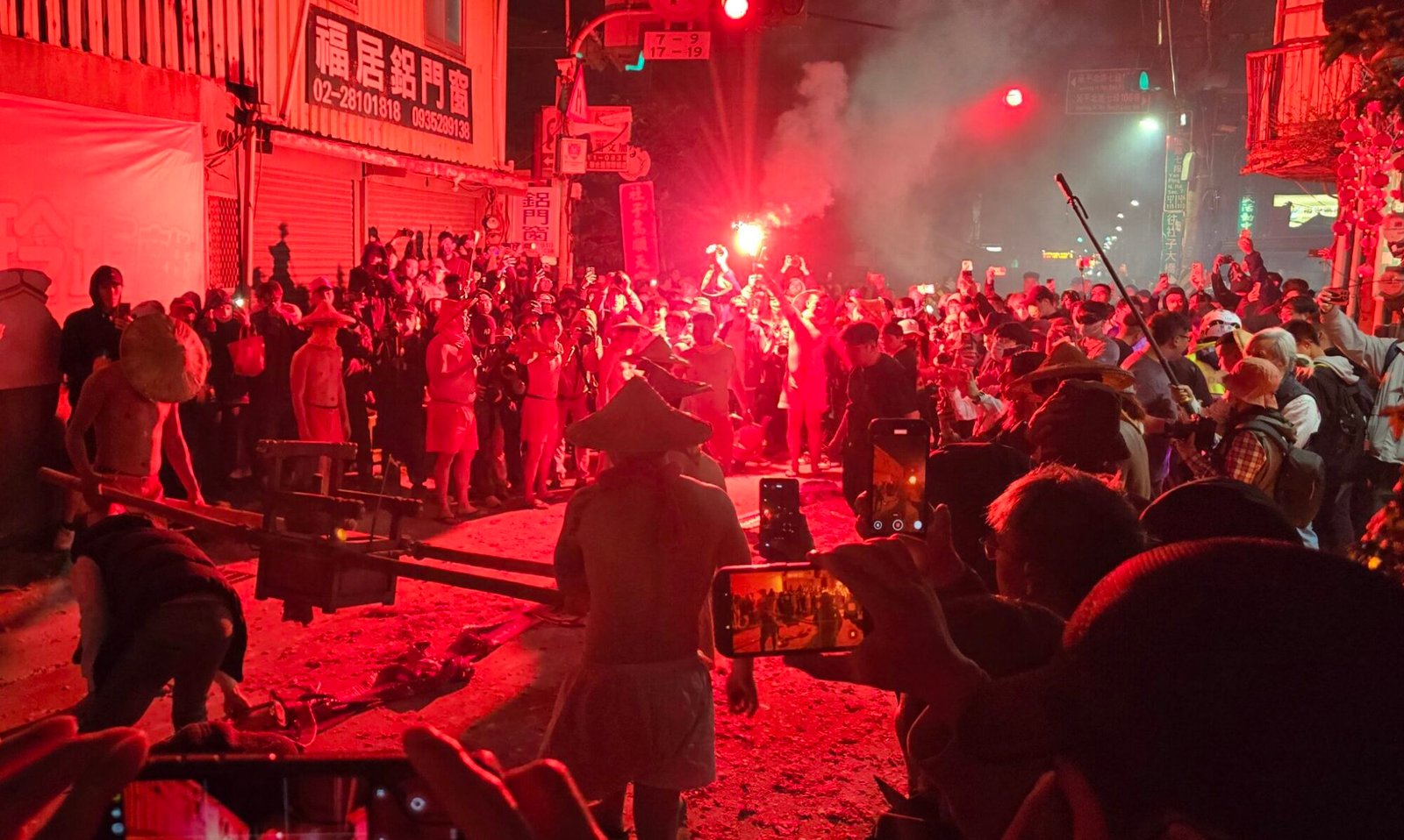
Field Documentation and Site Digitization
On-site documentation of physical places through field observation, photography, spatial data collection, and digital recording. Work can establish a baseline record of a site, document existing conditions, or support subsequent research and analysis.
Geospatial Research
Investigating spatial relationships among places, land use, historical records, environmental conditions, and human activity through spatial data analysis and geographic research.
Structured Research and Information Gathering
Systematic collection, organization, and synthesis of information from documentary, digital, and other sources. Deliverables may include indexed source collections, structured datasets, research summaries, and analytical narratives.
Cultural Heritage Digitization
Digital documentation and representation of tangible and intangible cultural heritage through photography, audio/video recording, metadata collection, indexing, and preparation of materials for digital access and interpretation.
3D Capture and Modeling
Creating three-dimensional digital representations of physical objects, sites, and environments for remote inspection, documentation, visualization, and further analysis.